Governments and intelligence agencies have needed better satellite thermal imaging for years. The gap between what optical satellites show you and what is actually happening on the ground is real – and expensive. SatVu, a London-based startup, is one of the few companies doing something concrete about it.
In February 2026, SatVu closed a £30 million funding round led by the NATO Innovation Fund, bringing its total equity funding to £60 million. That number matters because it signals where the company sits: no longer a proof-of-concept, but a company actively moving toward a multi-satellite constellation.
The Resolution Gap:
Most commercially available thermal data today comes from satellites like Landsat, which captures at around 100 meters resolution. That is enough to confirm something is hot. It is not enough to understand what is actually happening.
SatVu’s HotSat satellites capture thermal imagery at 3.5 meters resolution – roughly 28 times sharper than Landsat. At that resolution, you can detect heat signatures from individual buildings, monitor activity inside industrial facilities, and see what is happening at specific infrastructure points day and night.
That is a meaningful jump. High-resolution infrared satellite data at this level was simply not available commercially before SatVu demonstrated it with HotSat-1.
What HotSat-1 Proved:
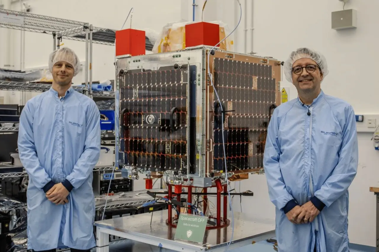
HotSat-1 launched on a SpaceX Falcon 9 in June 2023, built by Surrey Satellite Technology Ltd. SatVu shared its first light images in October 2023. The satellite successfully demonstrated the core capability before an anomaly – traced to a power circuit in the camera – ended its services in December 2023.
The mission validated the imaging technology. Customers including Japan Space Imaging Corporation used the data during the operational window, and SatVu incorporated learnings from HotSat-1 directly into the design of its next spacecraft.
The 2026 Constellation Push:
HotSat-2 and HotSat-3 are both planned for orbit in 2026. HotSat-4, HotSat-5, and long-lead elements of HotSat-6 are now under contract. The full plan calls for nine satellites delivering 10 to 20 revisits per day globally.
Single-satellite coverage lets you image any point on Earth. A nine-satellite constellation lets you do it persistently – tracking patterns of activity throughout the day rather than catching occasional snapshots. For defence, infrastructure monitoring, and commodity analysis, that frequency difference is significant.
As of January 2026, SatVu had secured £6 million in pre-orders ahead of the HotSat-2 launch. Investors backing the latest round include Molten Ventures, Lockheed Martin, Adara Ventures, and the British Business Bank, alongside the NATO Innovation Fund.
Three Sectors Driving Demand:
SatVu’s thermal Earth observation data serves three distinct verticals.
For national security, thermal infrared reveals operational activity that optical imagery misses entirely. Heat signatures from buildings, vehicles, and infrastructure indicate readiness and movement in ways that visible light cameras cannot. SatVu has signed an MoU with IHI Corporation in Japan to support sovereign thermal intelligence capability.
For economic monitoring, the data tracks industrial output at a granular level – blast furnace activity, oil storage levels, refinery operations, and power plant performance. Analysts and commodity traders use this kind of alternative data to cross-reference reported figures against physical activity on the ground.
For climate resilience and urban planning, high-resolution thermal data maps heat distribution across cities, identifies energy loss in buildings, monitors solar farm performance, and supports urban greening initiatives. A partnership with nature data platform OPO integrates SatVu thermal data directly into city planning tools.
One Feature Worth Noting:
SatVu is currently the only provider offering thermal satellite data as both still imagery and video, with clips of up to 60 seconds. That video capability lets operators track movement across a scene rather than comparing static images taken at different times – a meaningful difference when monitoring port activity, airport operations, or industrial facilities.
The system also works through smoke, which optical satellites cannot do. For monitoring wildfires, industrial accidents, or obscured sites, that characteristic is operationally relevant.
Future:
The £30 million round includes a Defence Innovation Loan from the UK’s Defence and Security Accelerator, which signals government confidence in the programme. A multi-year strategic alliance with SUHORA is also active, extending SatVu’s thermal sensing and analytics reach to new markets.
SatVu’s path runs through two near-term milestones: getting HotSat-2 and HotSat-3 into orbit in 2026 and converting pre-orders into sustained recurring revenue. With HotSat-4 through HotSat-6 already under contract, the infrastructure to scale is in place.
For anyone working in defence intelligence, geospatial analytics, climate data, or energy commodities, satellite thermal imaging at 3.5-meter resolution is a data layer worth tracking closely. SatVu is the furthest along commercially in delivering it.